
Thank you for supporting this site ❤️
Make a donation
Make a donation
Sjöatorp topographic map
Click on the map to display elevation.
Thank you for supporting this site ❤️
Make a donation
Make a donation
About this map
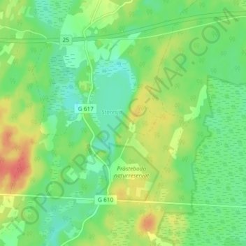
Name: Sjöatorp topographic map, elevation, terrain.
Location: Sjöatorp, Ljungby kommun, Kronobergs län, Zweden (56.81796 14.03966 56.85796 14.07966)
Average elevation: 157 m
Minimum elevation: 137 m
Maximum elevation: 186 m
Thank you for supporting this site ❤️
Make a donation
Make a donation
Other topographic maps
Click on a map to view its topography, its elevation and its terrain.