
Thank you for supporting this site ❤️
Make a donation
Make a donation
Blámansfjall topographic map
Click on the map to display elevation.
Thank you for supporting this site ❤️
Make a donation
Make a donation
About this map
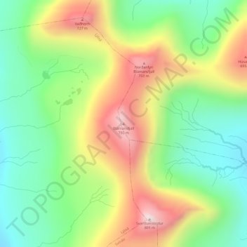
Name: Blámansfjall topographic map, elevation, terrain.
Location: Blámansfjall, Funningur, Eysturoyar sýsla, 475, Færøerne (62.26687 -7.00400 62.26697 -7.00390)
Average elevation: 463 m
Minimum elevation: 219 m
Maximum elevation: 816 m
Thank you for supporting this site ❤️
Make a donation
Make a donation