
Thank you for supporting this site ❤️
Make a donation
Make a donation
Stígarnir topographic map
Click on the map to display elevation.
Thank you for supporting this site ❤️
Make a donation
Make a donation
About this map
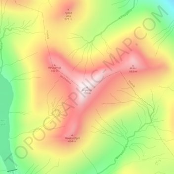
Name: Stígarnir topographic map, elevation, terrain.
Location: Stígarnir, Hvalvík, Streymoyar sýsla, 430, Færøerne (62.18946 -7.12993 62.18956 -7.12983)
Average elevation: 430 m
Minimum elevation: 112 m
Maximum elevation: 701 m
Thank you for supporting this site ❤️
Make a donation
Make a donation