
Lifton topographic map
Click on the map to display elevation.
About this map
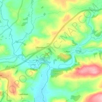
Name: Lifton topographic map, elevation, terrain.
Location: Lifton, West Devon, Devon, England, United Kingdom (50.61686 -4.33510 50.66906 -4.23990)
Average elevation: 93 m
Minimum elevation: 41 m
Maximum elevation: 192 m