
Thank you for supporting this site ❤️
Make a donation
Make a donation
Le Châble topographic map
Click on the map to display elevation.
Thank you for supporting this site ❤️
Make a donation
Make a donation
About this map
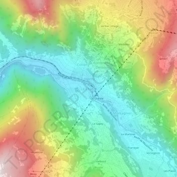
Name: Le Châble topographic map, elevation, terrain.
Location: Le Châble, Val de Bagnes, Entremont, Valais, 1934, Suisse (46.06015 7.19250 46.10015 7.23250)
Average elevation: 1,222 m
Minimum elevation: 790 m
Maximum elevation: 1,969 m
Thank you for supporting this site ❤️
Make a donation
Make a donation