
Thank you for supporting this site ❤️
Make a donation
Make a donation
Florø topographic map
Click on the map to display elevation.
Thank you for supporting this site ❤️
Make a donation
Make a donation
About this map
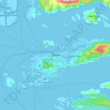
Name: Florø topographic map, elevation, terrain.
Location: Florø, Kinn, Vestland, 6906, Norway (61.56026 4.99496 61.64026 5.07496)
Average elevation: 14 m
Minimum elevation: -3 m
Maximum elevation: 339 m
Thank you for supporting this site ❤️
Make a donation
Make a donation
Other topographic maps
Click on a map to view its topography, its elevation and its terrain.
Thank you for supporting this site ❤️
Make a donation
Make a donation
Thank you for supporting this site ❤️
Make a donation
Make a donation