
Thank you for supporting this site ❤️
Make a donation
Make a donation
Phú Dòng topographic map
Click on the map to display elevation.
Thank you for supporting this site ❤️
Make a donation
Make a donation
About this map
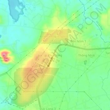
Name: Phú Dòng topographic map, elevation, terrain.
Location: Phú Dòng, Xã Thống Nhất, Vietnam (11.06598 107.15339 11.10598 107.19339)
Average elevation: 95 m
Minimum elevation: 51 m
Maximum elevation: 174 m
Thank you for supporting this site ❤️
Make a donation
Make a donation