
Thank you for supporting this site ❤️
Make a donation
Make a donation
Frankhuis topographic map
Click on the map to display elevation.
Thank you for supporting this site ❤️
Make a donation
Make a donation
About this map
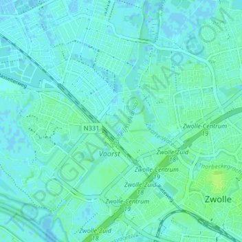
Name: Frankhuis topographic map, elevation, terrain.
Location: Frankhuis, Zwolle, Overijssel, Netherlands, 8043 PC, Netherlands (52.50134 6.04431 52.54134 6.08431)
Average elevation: 3 m
Minimum elevation: -4 m
Maximum elevation: 9 m
Thank you for supporting this site ❤️
Make a donation
Make a donation