
Thank you for supporting this site ❤️
Make a donation
Make a donation
Villapeceñil topographic map
Click on the map to display elevation.
Thank you for supporting this site ❤️
Make a donation
Make a donation
About this map
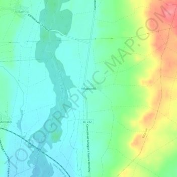
Name: Villapeceñil topographic map, elevation, terrain.
Location: Villapeceñil, Villamol, León, Castilla y León, 24320, España (42.39014 -5.04821 42.43014 -5.00821)
Average elevation: 831 m
Minimum elevation: 805 m
Maximum elevation: 890 m
Thank you for supporting this site ❤️
Make a donation
Make a donation