
Thank you for supporting this site ❤️
Make a donation
Make a donation
La Goulette topographic map
Click on the map to display elevation.
Thank you for supporting this site ❤️
Make a donation
Make a donation
About this map
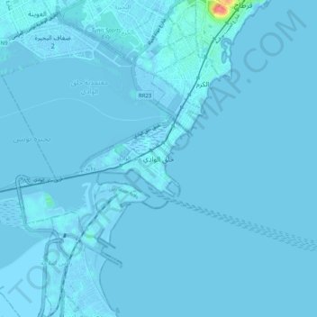
Name: La Goulette topographic map, elevation, terrain.
Location: La Goulette, Tunis, 2060, Tunisia (36.77593 10.26424 36.85593 10.34424)
Average elevation: 1 m
Minimum elevation: -7 m
Maximum elevation: 58 m
Thank you for supporting this site ❤️
Make a donation
Make a donation
Other topographic maps
Click on a map to view its topography, its elevation and its terrain.