
Thank you for supporting this site ❤️
Make a donation
Make a donation
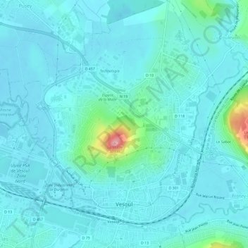
Vesoul topographic map
Click on the map to display elevation.
Thank you for supporting this site ❤️
Make a donation
Make a donation
Vesoul
Vesoul is first mentioned in a document dated 899. That document speaks about an elevation with a fortified watchtower. The document speaks about "Castrum Vesulium". Castrum is a fortification, and "Vesulium" has the syllable ves which meant hill or mountain in a language that was spoken before the Celts. Today, there is a castle that forms the centre of the city. The first houses were built inside the walls of the castle. Newcomers who found no place settled outside the city walls, on the flanks of the hill. Growing wine was popular.
Thank you for supporting this site ❤️
Make a donation
Make a donation
About this map
Name: Vesoul topographic map, elevation, terrain.
Average elevation: 232 m
Minimum elevation: 213 m
Maximum elevation: 369 m
Thank you for supporting this site ❤️
Make a donation
Make a donation