
Thank you for supporting this site ❤️
Make a donation
Make a donation
Kirkjubøreyn topographic map
Click on the map to display elevation.
Thank you for supporting this site ❤️
Make a donation
Make a donation
About this map
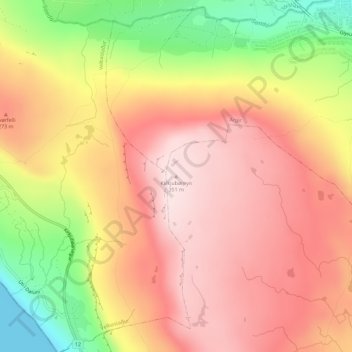
Name: Kirkjubøreyn topographic map, elevation, terrain.
Location: Kirkjubøreyn, Kirkjubøur, Streymoyar sýsla, 175, Færøerne (61.98480 -6.81337 61.98490 -6.81327)
Average elevation: 214 m
Minimum elevation: -1 m
Maximum elevation: 348 m
Thank you for supporting this site ❤️
Make a donation
Make a donation