
Thank you for supporting this site ❤️
Make a donation
Make a donation
Gívrufjall topographic map
Click on the map to display elevation.
Thank you for supporting this site ❤️
Make a donation
Make a donation
About this map
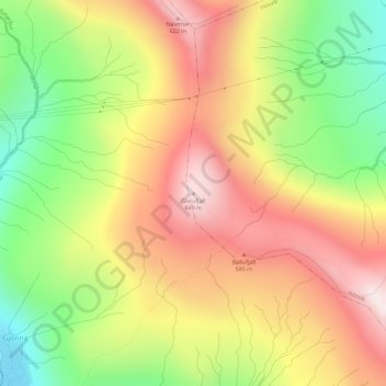
Name: Gívrufjall topographic map, elevation, terrain.
Location: Gívrufjall, Hósvík, Streymoyar sýsla, 420, Færøerne (62.14658 -6.99486 62.14668 -6.99476)
Average elevation: 368 m
Minimum elevation: 66 m
Maximum elevation: 646 m
Thank you for supporting this site ❤️
Make a donation
Make a donation