
Thank you for supporting this site ❤️
Make a donation
Make a donation
Árnadalstindur topographic map
Click on the map to display elevation.
Thank you for supporting this site ❤️
Make a donation
Make a donation
About this map
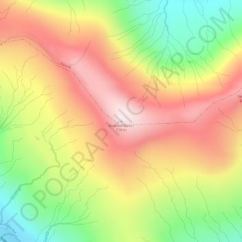
Name: Árnadalstindur topographic map, elevation, terrain.
Location: Árnadalstindur, Hósvík, Streymoyar sýsla, 420, Færøerne (62.13318 -6.95714 62.13328 -6.95704)
Average elevation: 404 m
Minimum elevation: 81 m
Maximum elevation: 698 m
Thank you for supporting this site ❤️
Make a donation
Make a donation