
Thank you for supporting this site ❤️
Make a donation
Make a donation
Dennehotso topographic map
Click on the map to display elevation.
Thank you for supporting this site ❤️
Make a donation
Make a donation
About this map
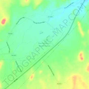
Name: Dennehotso topographic map, elevation, terrain.
Location: Dennehotso, Apache County, Arizona, 86535, United States (36.82406 -109.86624 36.86406 -109.82624)
Average elevation: 1,539 m
Minimum elevation: 1,512 m
Maximum elevation: 1,589 m
Thank you for supporting this site ❤️
Make a donation
Make a donation