
Thank you for supporting this site ❤️
Make a donation
Make a donation
Dalarna County topographic map
Click on the map to display elevation.
Thank you for supporting this site ❤️
Make a donation
Make a donation
About this map
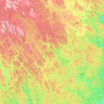
Name: Dalarna County topographic map, elevation, terrain.
Location: Dalarna County, Sweden (59.85422 12.13767 62.26746 16.70460)
Average elevation: 381 m
Minimum elevation: 38 m
Maximum elevation: 1,396 m
Thank you for supporting this site ❤️
Make a donation
Make a donation
Other topographic maps
Click on a map to view its topography, its elevation and its terrain.
Thank you for supporting this site ❤️
Make a donation
Make a donation
Esrange Space Center
Sweden > Norrbotten County > Jukkasjärvi
Esrange Space Center is a rocket range and research centre located about 40 kilometers east of the town of Kiruna in northern Sweden. It is a base for scientific research with high-altitude balloons, investigation of the aurora borealis, sounding rocket launches, and satellite tracking, among other things.…
Average elevation: 332 m
Thank you for supporting this site ❤️
Make a donation
Make a donation
Thank you for supporting this site ❤️
Make a donation
Make a donation