
Thank you for supporting this site ❤️
Make a donation
Make a donation
Jabalí topographic map
Click on the map to display elevation.
Thank you for supporting this site ❤️
Make a donation
Make a donation
About this map
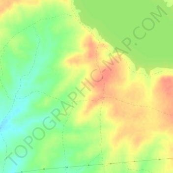
Name: Jabalí topographic map, elevation, terrain.
Location: Jabalí, Oropesa, Castilla-La Mancha, España (40.00877 -5.12607 40.02877 -5.10607)
Average elevation: 367 m
Minimum elevation: 343 m
Maximum elevation: 387 m
Thank you for supporting this site ❤️
Make a donation
Make a donation