
Thank you for supporting this site ❤️
Make a donation
Make a donation
El Ocotito topographic map
Click on the map to display elevation.
Thank you for supporting this site ❤️
Make a donation
Make a donation
About this map
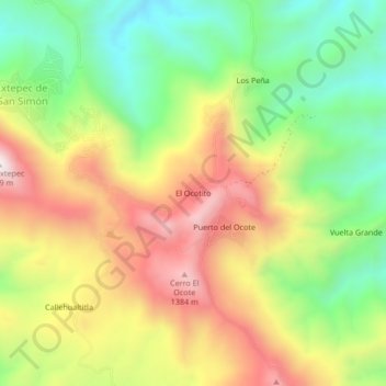
Name: El Ocotito topographic map, elevation, terrain.
Location: El Ocotito, General Canuto A. Neri, Guerrero, Mexico (18.44585 -100.09745 18.48585 -100.05745)
Average elevation: 1,038 m
Minimum elevation: 692 m
Maximum elevation: 1,442 m
Thank you for supporting this site ❤️
Make a donation
Make a donation