
Thank you for supporting this site ❤️
Make a donation
Make a donation
Mörkret topographic map
Click on the map to display elevation.
Thank you for supporting this site ❤️
Make a donation
Make a donation
About this map
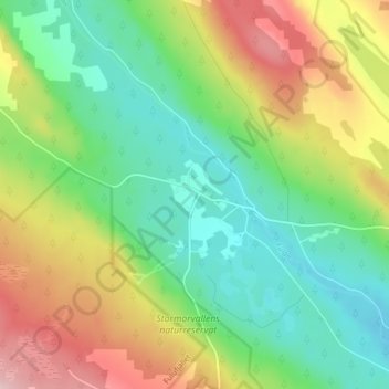
Name: Mörkret topographic map, elevation, terrain.
Location: Mörkret, Älvdalens kommun, Dalarna len, Sverige (61.63375 12.72521 61.67375 12.76521)
Average elevation: 600 m
Minimum elevation: 511 m
Maximum elevation: 749 m
Thank you for supporting this site ❤️
Make a donation
Make a donation
Other topographic maps
Click on a map to view its topography, its elevation and its terrain.