
Thank you for supporting this site ❤️
Make a donation
Make a donation
Mårdsel topographic map
Click on the map to display elevation.
Thank you for supporting this site ❤️
Make a donation
Make a donation
About this map
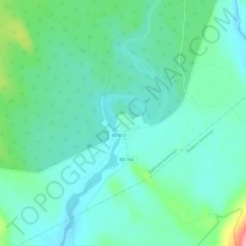
Name: Mårdsel topographic map, elevation, terrain.
Location: Mårdsel, Gällivare kommun, Norrbottens län, Suécia (66.28906 21.34773 66.32906 21.38773)
Average elevation: 171 m
Minimum elevation: 150 m
Maximum elevation: 265 m
Thank you for supporting this site ❤️
Make a donation
Make a donation