
Thank you for supporting this site ❤️
Make a donation
Make a donation
Vésigneux topographic map
Click on the map to display elevation.
Thank you for supporting this site ❤️
Make a donation
Make a donation
About this map
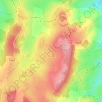
Name: Vésigneux topographic map, elevation, terrain.
Average elevation: 385 m
Minimum elevation: 300 m
Maximum elevation: 446 m
Thank you for supporting this site ❤️
Make a donation
Make a donation
Other topographic maps
Click on a map to view its topography, its elevation and its terrain.
Barrage de Chaumeçon
France > Bourgogne-Franche-Comté > Nièvre > Saint-Martin-du-Puy
Average elevation: 451 m