
Thank you for supporting this site ❤️
Make a donation
Make a donation
Kunlun Mountains topographic map
Click on the map to display elevation.
Thank you for supporting this site ❤️
Make a donation
Make a donation
About this map
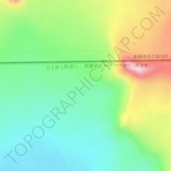
Name: Kunlun Mountains topographic map, elevation, terrain.
Average elevation: 6,188 m
Minimum elevation: 6,075 m
Maximum elevation: 6,397 m
Thank you for supporting this site ❤️
Make a donation
Make a donation
Other topographic maps
Click on a map to view its topography, its elevation and its terrain.
Orba Co
China > Tibet > Rutog County > Dongru
Orba Co, also Wo Erba or Wo Erbacuo (Chinese: 窝尔巴错; pinyin: Wōěrbā cuò; Tibetan: འོར་པ་མཚོ, Wylie: 'or pa mtsho), is a lake in Rutog County in the Ngari Prefecture in the northwest of the Tibet Autonomous Region of China. It lies at an elevation of 5,209 metres (17,090 ft), to the southeast of Longmu Lake.
Average elevation: 5,246 m