
Thank you for supporting this site ❤️
Make a donation
Make a donation
Cù Lao Dung topographic map
Click on the map to display elevation.
Thank you for supporting this site ❤️
Make a donation
Make a donation
About this map
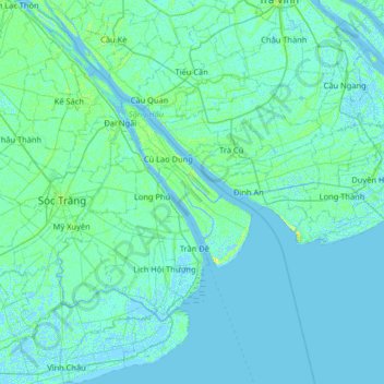
Name: Cù Lao Dung topographic map, elevation, terrain.
Location: Cù Lao Dung, Cần Thơ, Vietnam (9.29537 105.87331 9.93537 106.51331)
Average elevation: 2 m
Minimum elevation: -5 m
Maximum elevation: 13 m
Thank you for supporting this site ❤️
Make a donation
Make a donation
Other topographic maps
Click on a map to view its topography, its elevation and its terrain.