
Thank you for supporting this site ❤️
Make a donation
Make a donation
Vislanda topographic map
Click on the map to display elevation.
Thank you for supporting this site ❤️
Make a donation
Make a donation
About this map
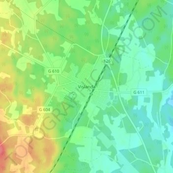
Name: Vislanda topographic map, elevation, terrain.
Location: Vislanda, Alvesta kommun, Kronoberg County, Sweden (56.76723 14.43158 56.80723 14.47158)
Average elevation: 165 m
Minimum elevation: 143 m
Maximum elevation: 204 m
Thank you for supporting this site ❤️
Make a donation
Make a donation
Other topographic maps
Click on a map to view its topography, its elevation and its terrain.