
Thank you for supporting this site ❤️
Make a donation
Make a donation
Bad Klosterlausnitz topographic map
Click on the map to display elevation.
Thank you for supporting this site ❤️
Make a donation
Make a donation
About this map
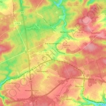
Name: Bad Klosterlausnitz topographic map, elevation, terrain.
Location: Bad Klosterlausnitz, Saale-Holzland-Kreis, Thuringia, Germany (50.89111 11.80842 50.92873 11.91913)
Average elevation: 330 m
Minimum elevation: 263 m
Maximum elevation: 368 m
Thank you for supporting this site ❤️
Make a donation
Make a donation