
Thank you for supporting this site ❤️
Make a donation
Make a donation
Pomáz topographic map
Click on the map to display elevation.
Thank you for supporting this site ❤️
Make a donation
Make a donation
About this map
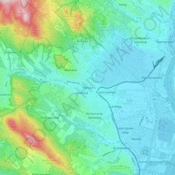
Name: Pomáz topographic map, elevation, terrain.
Location: Pomáz, Szentendrei járás, Pest, Central Hungary, 2013, Hungary (47.60682 18.98363 47.68682 19.06363)
Average elevation: 193 m
Minimum elevation: 98 m
Maximum elevation: 550 m
Thank you for supporting this site ❤️
Make a donation
Make a donation