
Thank you for supporting this site ❤️
Make a donation
Make a donation
Đa Bla topographic map
Click on the map to display elevation.
Thank you for supporting this site ❤️
Make a donation
Make a donation
About this map
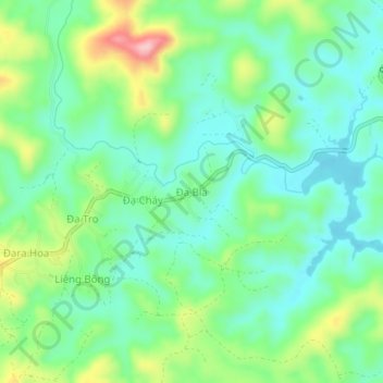
Name: Đa Bla topographic map, elevation, terrain.
Location: Đa Bla, Xã Lạc Dương, Lâm Đồng Province, Vietnam (12.08493 108.54368 12.12493 108.58368)
Average elevation: 1,457 m
Minimum elevation: 1,400 m
Maximum elevation: 1,589 m
Thank you for supporting this site ❤️
Make a donation
Make a donation