
Thank you for supporting this site ❤️
Make a donation
Make a donation
Víkartindur topographic map
Click on the map to display elevation.
Thank you for supporting this site ❤️
Make a donation
Make a donation
About this map
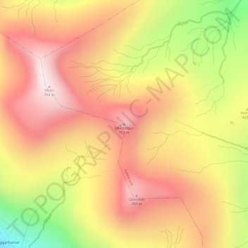
Name: Víkartindur topographic map, elevation, terrain.
Location: Víkartindur, Haldórsvík, Streymoyar sýsla, 440, Færøerne (62.26165 -7.15362 62.26175 -7.15352)
Average elevation: 466 m
Minimum elevation: 18 m
Maximum elevation: 764 m
Thank you for supporting this site ❤️
Make a donation
Make a donation