
Thank you for supporting this site ❤️
Make a donation
Make a donation
Villa del Río topographic map
Click on the map to display elevation.
Thank you for supporting this site ❤️
Make a donation
Make a donation
About this map
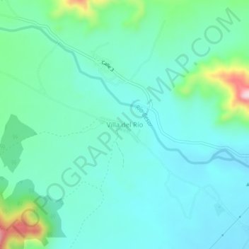
Name: Villa del Río topographic map, elevation, terrain.
Location: Villa del Río, San Juan del Cesar, La Guajira, Colombia (10.79144 -73.07119 10.83144 -73.03119)
Average elevation: 308 m
Minimum elevation: 246 m
Maximum elevation: 554 m
Thank you for supporting this site ❤️
Make a donation
Make a donation