
Thank you for supporting this site ❤️
Make a donation
Make a donation
Tiro topographic map
Click on the map to display elevation.
Thank you for supporting this site ❤️
Make a donation
Make a donation
About this map
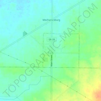
Name: Tiro topographic map, elevation, terrain.
Location: Tiro, Auburn Township, Crawford County, Ohio, United States (40.90170 -82.77543 40.91092 -82.76254)
Average elevation: 320 m
Minimum elevation: 308 m
Maximum elevation: 346 m
Thank you for supporting this site ❤️
Make a donation
Make a donation
Other topographic maps
Click on a map to view its topography, its elevation and its terrain.