
Thank you for supporting this site ❤️
Make a donation
Make a donation
Ostrołęka topographic map
Click on the map to display elevation.
Thank you for supporting this site ❤️
Make a donation
Make a donation
About this map
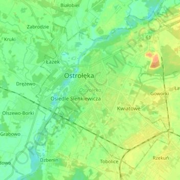
Name: Ostrołęka topographic map, elevation, terrain.
Location: Ostrołęka, gmina Rzekuń, Masovian Voivodeship, 07-410, Poland (53.04333 21.53562 53.11237 21.66607)
Average elevation: 99 m
Minimum elevation: 86 m
Maximum elevation: 119 m
Thank you for supporting this site ❤️
Make a donation
Make a donation