
Province of Urubamba topographic map
Click on the map to display elevation.
About this map
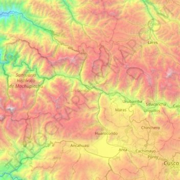
Name: Province of Urubamba topographic map, elevation, terrain.
Location: Province of Urubamba, Cusco, Peru (-13.45367 -72.60076 -13.08235 -71.96868)
Average elevation: 3,751 m
Minimum elevation: 1,617 m
Maximum elevation: 6,231 m