
Thank you for supporting this site ❤️
Make a donation
Make a donation
Aranäs topographic map
Click on the map to display elevation.
Thank you for supporting this site ❤️
Make a donation
Make a donation
About this map
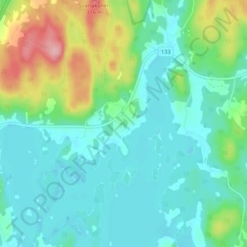
Name: Aranäs topographic map, elevation, terrain.
Location: Aranäs, Gränna, Jönköpings kommun, Jönköping County, Sweden (57.98128 14.49348 58.02128 14.53348)
Average elevation: 227 m
Minimum elevation: 194 m
Maximum elevation: 324 m
Thank you for supporting this site ❤️
Make a donation
Make a donation