
Thank you for supporting this site ❤️
Make a donation
Make a donation
Scandinavian Peninsula topographic map
Click on the map to display elevation.
Thank you for supporting this site ❤️
Make a donation
Make a donation
Scandinavian Peninsula
Its highest elevation was Glittertinden in Norway at 2,470 m (8,104 ft) above sea level, but since the glacier at its summit partially melted, the highest elevation is at 2,469 m (8,100 ft) at Galdhøpiggen, also in Norway. These mountains also have the largest glacier on the mainland of Europe, Jostedalsbreen.
Thank you for supporting this site ❤️
Make a donation
Make a donation
About this map
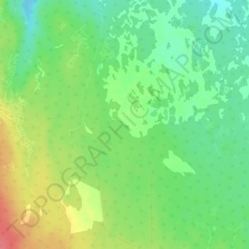
Name: Scandinavian Peninsula topographic map, elevation, terrain.
Location: Scandinavian Peninsula, Bergs kommun, Jämtland County, Sweden (62.99995 13.99995 63.00005 14.00005)
Average elevation: 577 m
Minimum elevation: 549 m
Maximum elevation: 617 m
Thank you for supporting this site ❤️
Make a donation
Make a donation
Other topographic maps
Click on a map to view its topography, its elevation and its terrain.
Thank you for supporting this site ❤️
Make a donation
Make a donation
Thank you for supporting this site ❤️
Make a donation
Make a donation
Thank you for supporting this site ❤️
Make a donation
Make a donation
Thank you for supporting this site ❤️
Make a donation
Make a donation