
Thank you for supporting this site ❤️
Make a donation
Make a donation
Émines topographic map
Click on the map to display elevation.
Thank you for supporting this site ❤️
Make a donation
Make a donation
About this map
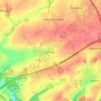
Name: Émines topographic map, elevation, terrain.
Location: Émines, La Bruyère, Namur, Wallonie, 5080, Belgique (50.49923 4.78901 50.53182 4.86029)
Average elevation: 171 m
Minimum elevation: 122 m
Maximum elevation: 197 m
Thank you for supporting this site ❤️
Make a donation
Make a donation