
Enkhuizen topographic map
Interactive map
Click on the map to display elevation.
About this map
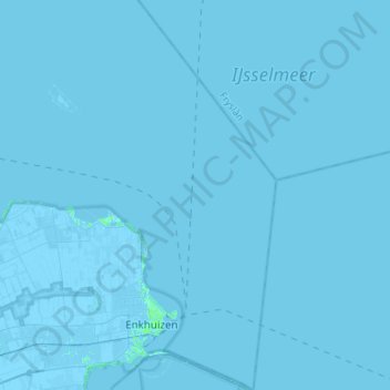
Name: Enkhuizen topographic map, elevation, terrain.
Location: Enkhuizen, North Holland, Netherlands (52.67573 5.21134 52.84063 5.37726)
Average elevation: 0 m
Minimum elevation: -5 m
Maximum elevation: 5 m
Other topographic maps
Click on a map to view its topography, its elevation and its terrain.
Edam
Netherlands > North Holland > Edam-Volendam
Edam, Edam-Volendam, North Holland, Netherlands
Average elevation: -1 m