
Mollepata topographic map
Click on the map to display elevation.
About this map
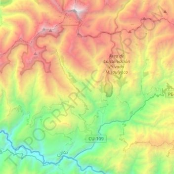
Name: Mollepata topographic map, elevation, terrain.
Location: Mollepata, Province of Anta, Cusco, 08645, Peru (-13.56276 -72.77286 -13.33261 -72.50542)
Average elevation: 3,576 m
Minimum elevation: 1,774 m
Maximum elevation: 6,228 m