
Thank you for supporting this site ❤️
Make a donation
Make a donation
Unión Mantaro topographic map
Click on the map to display elevation.
Thank you for supporting this site ❤️
Make a donation
Make a donation
About this map
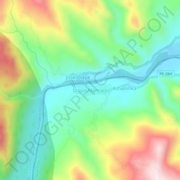
Name: Unión Mantaro topographic map, elevation, terrain.
Location: Unión Mantaro, Canayre, Huanta, Ayacucho, Perú (-12.30399 -74.10828 -12.26399 -74.06828)
Average elevation: 685 m
Minimum elevation: 499 m
Maximum elevation: 1,010 m
Thank you for supporting this site ❤️
Make a donation
Make a donation