
Thank you for supporting this site ❤️
Make a donation
Make a donation
Tangshan City topographic map
Click on the map to display elevation.
Thank you for supporting this site ❤️
Make a donation
Make a donation
About this map
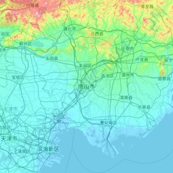
Name: Tangshan City topographic map, elevation, terrain.
Location: Tangshan City, Hebei, China (38.91438 117.49741 40.46326 119.30403)
Average elevation: 99 m
Minimum elevation: -4 m
Maximum elevation: 1,368 m
Thank you for supporting this site ❤️
Make a donation
Make a donation