
Thank you for supporting this site ❤️
Make a donation
Make a donation
Trognée topographic map
Click on the map to display elevation.
Thank you for supporting this site ❤️
Make a donation
Make a donation
About this map
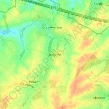
Name: Trognée topographic map, elevation, terrain.
Location: Trognée, Hannut, Waremme, Liège, Wallonia, 4280, Belgium (50.66780 5.10421 50.70780 5.14421)
Average elevation: 134 m
Minimum elevation: 115 m
Maximum elevation: 149 m
Thank you for supporting this site ❤️
Make a donation
Make a donation