
Thank you for supporting this site ❤️
Make a donation
Make a donation
Stöten topographic map
Click on the map to display elevation.
Thank you for supporting this site ❤️
Make a donation
Make a donation
About this map
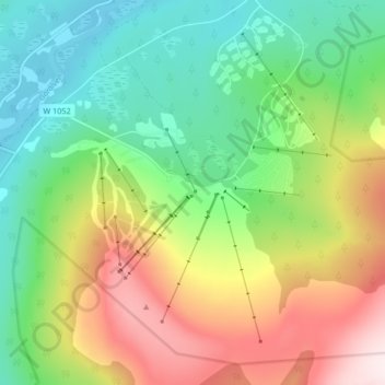
Name: Stöten topographic map, elevation, terrain.
Location: Stöten, Malung-Sälens kommun, Dalarna County, Sweden (61.24605 12.87046 61.28605 12.91046)
Average elevation: 590 m
Minimum elevation: 404 m
Maximum elevation: 900 m
Thank you for supporting this site ❤️
Make a donation
Make a donation
Other topographic maps
Click on a map to view its topography, its elevation and its terrain.