
Thank you for supporting this site ❤️
Make a donation
Make a donation
Urðafjall topographic map
Click on the map to display elevation.
Thank you for supporting this site ❤️
Make a donation
Make a donation
About this map
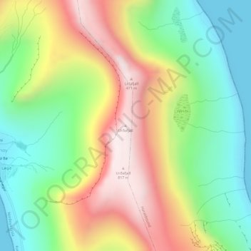
Name: Urðafjall topographic map, elevation, terrain.
Location: Urðafjall, Kunoy, Norðoya sýsla, 780, Færøerne (62.29436 -6.63988 62.29446 -6.63978)
Average elevation: 351 m
Minimum elevation: 0 m
Maximum elevation: 818 m
Thank you for supporting this site ❤️
Make a donation
Make a donation