
Thank you for supporting this site ❤️
Make a donation
Make a donation
Pætursfjall topographic map
Click on the map to display elevation.
Thank you for supporting this site ❤️
Make a donation
Make a donation
About this map
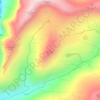
Name: Pætursfjall topographic map, elevation, terrain.
Location: Pætursfjall, Vestmanna, Streymoyar sýsla, 350, Færøerne (62.21481 -7.20503 62.21491 -7.20493)
Average elevation: 410 m
Minimum elevation: 0 m
Maximum elevation: 759 m
Thank you for supporting this site ❤️
Make a donation
Make a donation