
Thank you for supporting this site ❤️
Make a donation
Make a donation
Bolivar County topographic map
Click on the map to display elevation.
Thank you for supporting this site ❤️
Make a donation
Make a donation
About this map
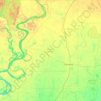
Name: Bolivar County topographic map, elevation, terrain.
Location: Bolivar County, Mississippi, United States (33.52867 -91.23254 34.12145 -90.65704)
Average elevation: 43 m
Minimum elevation: 30 m
Maximum elevation: 59 m
Thank you for supporting this site ❤️
Make a donation
Make a donation
Other topographic maps
Click on a map to view its topography, its elevation and its terrain.