
Thank you for supporting this site ❤️
Make a donation
Make a donation
Kester topographic map
Click on the map to display elevation.
Thank you for supporting this site ❤️
Make a donation
Make a donation
About this map
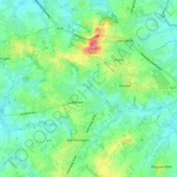
Name: Kester topographic map, elevation, terrain.
Location: Kester, Gooik, Halle-Vilvoorde, Flemish Brabant, Belgium (50.74540 4.06071 50.78057 4.14405)
Average elevation: 53 m
Minimum elevation: 30 m
Maximum elevation: 111 m
Thank you for supporting this site ❤️
Make a donation
Make a donation
Other topographic maps
Click on a map to view its topography, its elevation and its terrain.
Thank you for supporting this site ❤️
Make a donation
Make a donation
Thank you for supporting this site ❤️
Make a donation
Make a donation