
Thank you for supporting this site ❤️
Make a donation
Make a donation
A Cañota topographic map
Click on the map to display elevation.
Thank you for supporting this site ❤️
Make a donation
Make a donation
About this map
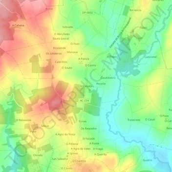
Name: A Cañota topographic map, elevation, terrain.
Location: A Cañota, Viladavil, Arzúa, A Corogne, Galice, 15810, Espagne (42.93129 -8.17703 42.97129 -8.13703)
Average elevation: 370 m
Minimum elevation: 303 m
Maximum elevation: 452 m
Thank you for supporting this site ❤️
Make a donation
Make a donation