
Sikikédé topographic map
Interactive map
Click on the map to display elevation.
About this map
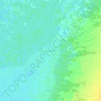
Name: Sikikédé topographic map, elevation, terrain.
Location: Sikikédé, Vakaga, Central African Republic (9.76734 21.59326 9.80734 21.63326)
Average elevation: 423 m
Minimum elevation: 416 m
Maximum elevation: 439 m