
Thank you for supporting this site ❤️
Make a donation
Make a donation
Ulutaş topographic map
Click on the map to display elevation.
Thank you for supporting this site ❤️
Make a donation
Make a donation
About this map
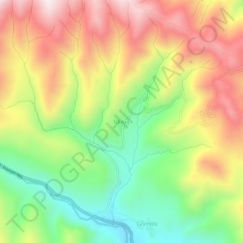
Name: Ulutaş topographic map, elevation, terrain.
Location: Ulutaş, İspir, Erzurum, Eastern Anatolia Region, Turkey (40.55764 40.88356 40.59764 40.92356)
Average elevation: 2,329 m
Minimum elevation: 1,971 m
Maximum elevation: 2,715 m
Thank you for supporting this site ❤️
Make a donation
Make a donation