
Thank you for supporting this site ❤️
Make a donation
Make a donation
Høvdin topographic map
Click on the map to display elevation.
Thank you for supporting this site ❤️
Make a donation
Make a donation
About this map
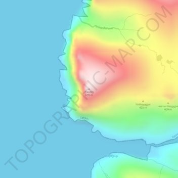
Name: Høvdin topographic map, elevation, terrain.
Location: Høvdin, Saksun, Streymoyar sýsla, 436, Færøerne (62.25514 -7.23107 62.25524 -7.23097)
Average elevation: 160 m
Minimum elevation: -5 m
Maximum elevation: 625 m
Thank you for supporting this site ❤️
Make a donation
Make a donation