
Thank you for supporting this site ❤️
Make a donation
Make a donation
Mosarøkur topographic map
Click on the map to display elevation.
Thank you for supporting this site ❤️
Make a donation
Make a donation
About this map
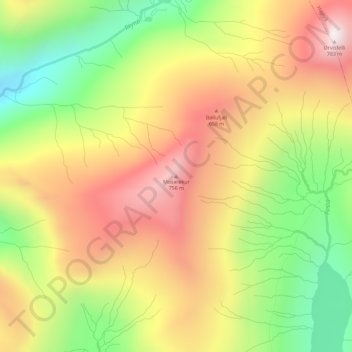
Name: Mosarøkur topographic map, elevation, terrain.
Location: Mosarøkur, Vestmanna, Streymoyar sýsla, 350, Færøerne (62.19813 -7.18328 62.19823 -7.18318)
Average elevation: 457 m
Minimum elevation: 110 m
Maximum elevation: 786 m
Thank you for supporting this site ❤️
Make a donation
Make a donation